- English
Languages:
This site is created using Wikimapia data. Wikimapia is an open-content collaborative map project contributed by volunteers around the world. It contains information about 32904527 places and counting.
Learn more about Wikimapia and cityguides.
Jamuria
Jamuria is located at. It has an average elevation of 111 metres (364 feet).
The Asansol-Durgapur region is composed of undulating latterite region. This area lies between two mighty rivers – the Damodar and the Ajay. They flow almost parallel to each other in the region – the average distance between the two rivers is around 30 km. For ages the area was heavily forested and infested with plunderers and marauders. The discovery of coal led to industrialisation of the area and most of the forests have been cleared.
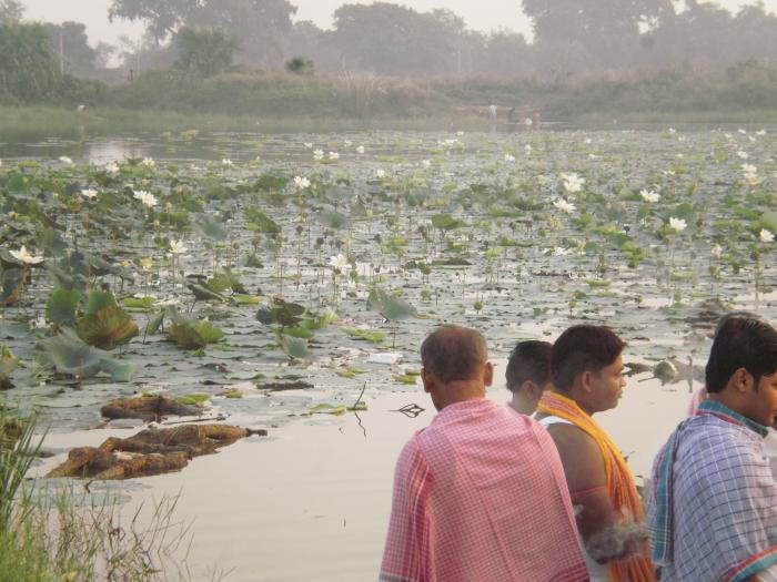
Singaran, a small stream about 35 km long has its origin near Ikra in the Jamuria area, flows past Topsi and Ondal and joins the Damodar near Waria.
Gram panchayats under Jamuria Panchayat Samiti are: Churulia, Madantore, Hijolgora, Chinchua, Shamalya, Bahdurpur, Dobrana, Kenda, Parasia and Topsi.
Demographics
As of 2001 India census, Jamuria had a population of 129,456. Males constitute 53% of the population and females 47%. Jamuria has an average literacy rate of 58%, lower than the national average of 59.5%: male literacy is 67%, and female literacy is 47%. In Jamuria, 14% of the population is under 6 years of age.
Jamuria is located at. It has an average elevation of 111 metres (364 feet).
The Asansol-Durgapur region is composed of undulating latterite region. This area lies between two mighty rivers – the Damodar and the Ajay. They flow almost parallel to each other in the region – the average distance between the two rivers is around 30 km. For ages the area was heavily forested and infested with plunderers and marauders. The discovery of coal led to industrialisation of the area and most of the forests have been cleared.
Singaran, a small stream about 35 km long has its origin near Ikra in the Jamuria area, flows past Topsi and Ondal and joins the Damodar near Waria.
Gram panchayats under...
 Reduce description
Jamuria on the map.


Recent city comments: